Transforming Global Infra with Digital Intelligence
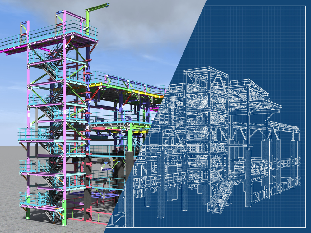
BIM allows seamless collaboration among all stakeholders by providing a shared digital representation of a project’s physical and functional characteristics. We use it for clash detection, design optimization, and lifecycle planning to ensure efficient execution from design through operations.
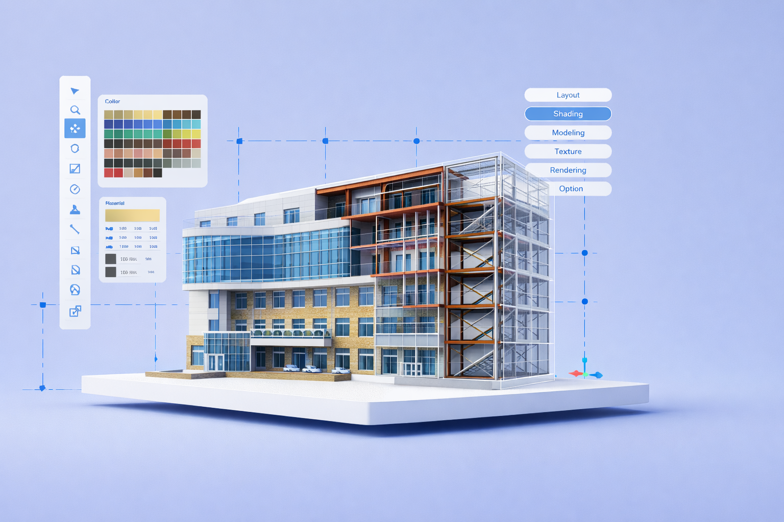
High-quality 3D modelling and visualizations allow our clients to take a realistic preview of the infrastructure before the beginning of the construction. This is the reason, we use these 3D models to improve stakeholder engagement, support approvals, and simplify technical explanations for non-engineers.
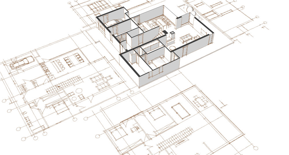
CEG has in-house CAD professionals who can deliver detailed, accurate 2D drawings. These drawings are used in Detailed Project Reports (DPRs), construction management, and design validation. These documents ensure that specifications align with on-ground execution.
Road asset management surveys using network survey vehicles equipped with 3D cameras, GPS, and Laser profilometer which enables inventory of road assets and condition surveys. Further, we worked on a road asset management project in Ethiopia for pavement and road asset management services enabling prioritisation of maintenance and development of additional infrastructure.

Using GIS, we analyze and visualize spatial data for applications in urban planning, water resource mapping, disaster management, and rail corridor alignment. GIS maps offer powerful insights that aid decision-making and policy planning.
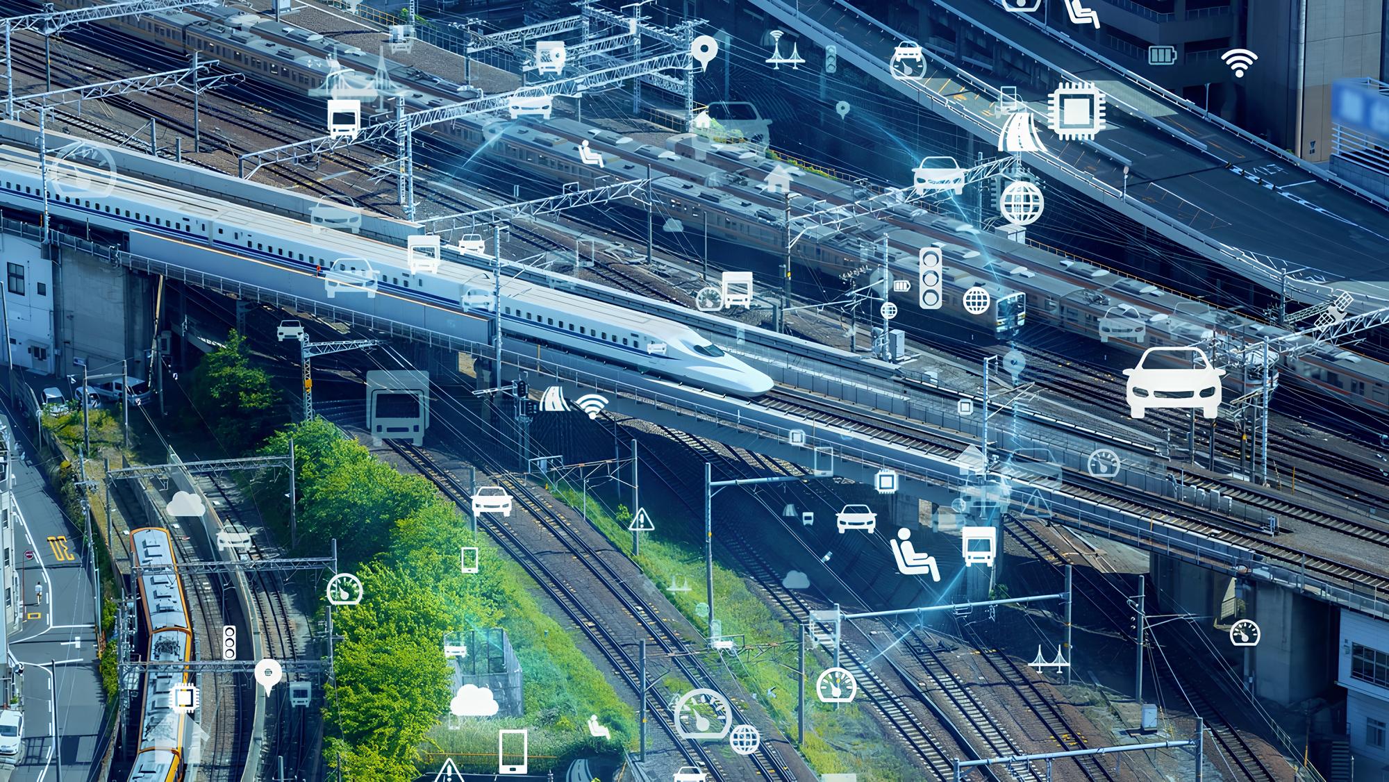
We carry out traffic surveys using ATMS and video and perform origin-destination studies to gather real-time data on traffic volumes and patterns. This helps in traffic modelling and forecasting future demand for road infrastructure, especially Greenfield expressways. We use Vissim for regional traffic modelling.
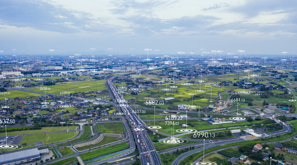
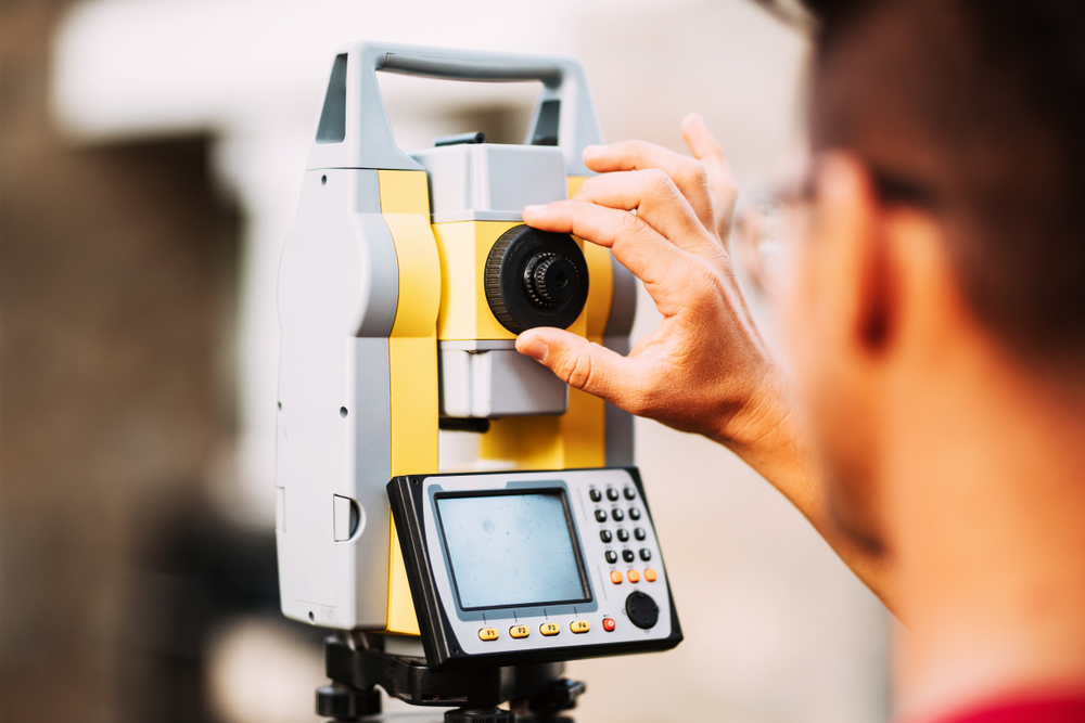
We employ a mix of DGPS, drone, LiDAR and satellite technologies to capture topographic data with high precision. This is especially useful in challenging or inaccessible terrains where traditional surveys fall short.
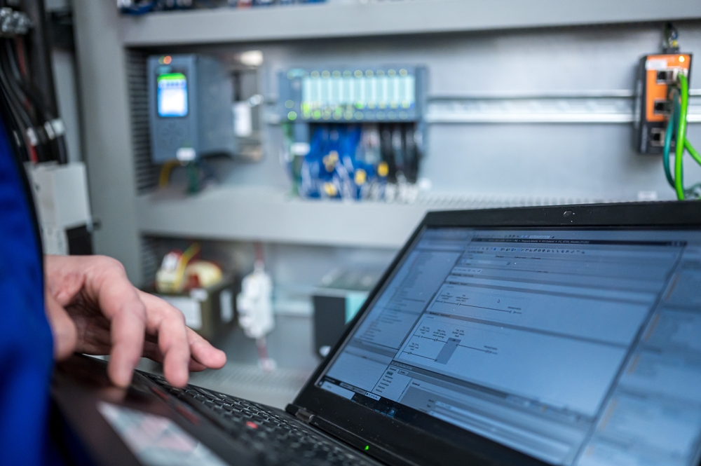
We provide Supervisory Control and Data Acquisition or SCADA solutions that allow timely monitoring and control of infrastructure assets, power supply systems, pumping stations, highways, and rail. These smart systems have the power to optimize performance, detect faults, and reduce downtime.
We are Here to Help!
